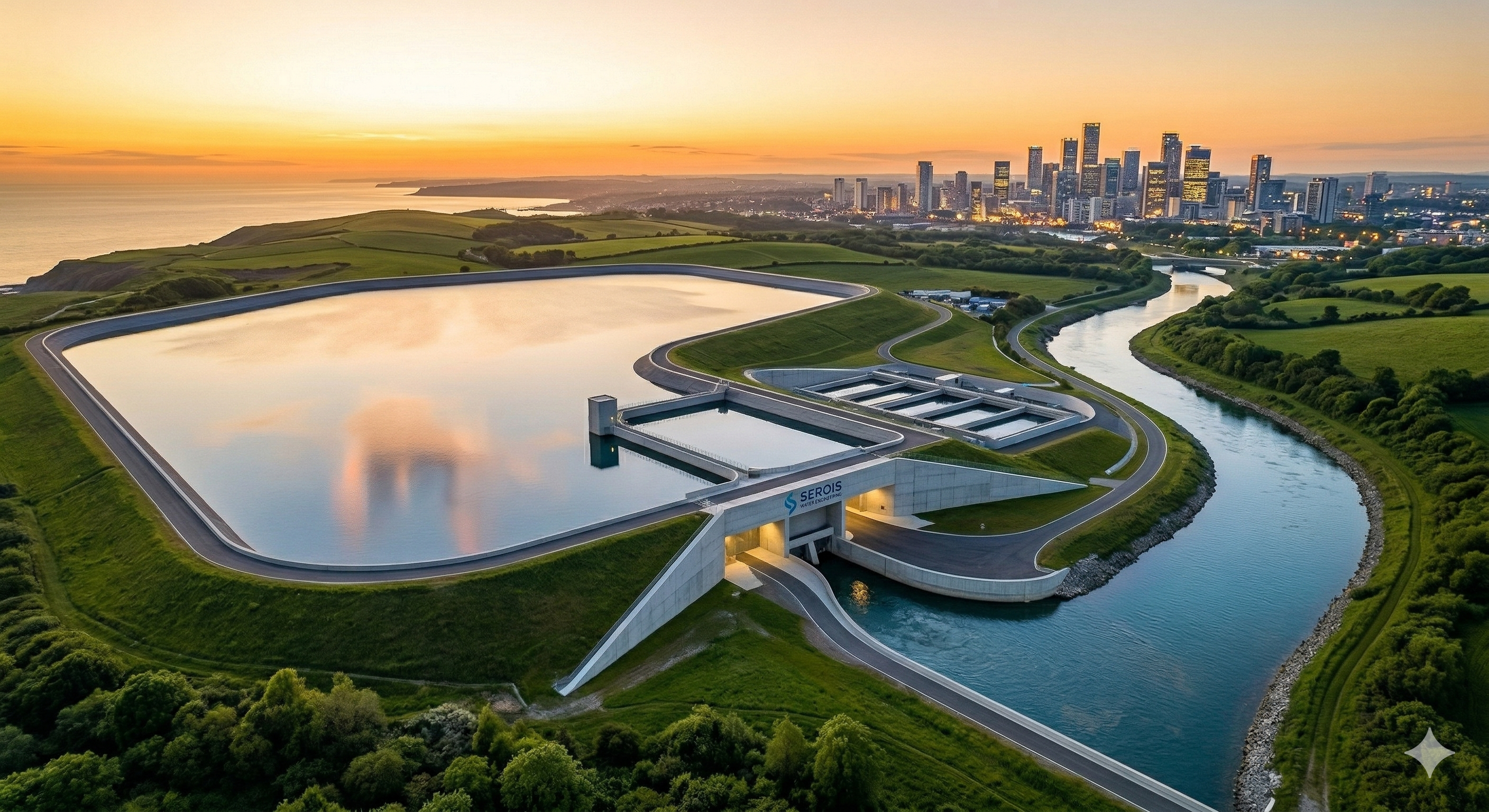
Our Services
We are specialists in hydraulic, sanitary, and environmental engineering, committed to providing integral and sustainable solutions for the management and conservation of the most valuable resource: water.
Hydrological Studies
A hydrological study analyzes the water cycle within a watershed — precipitation, evapotranspiration, runoff, and streamflow. It is the technical foundation for hydraulic infrastructure design, flood risk management, and securing water use permits from the environmental authority.
- Precipitation, runoff, and streamflow analysis.
- Hydrological modeling of watersheds using specialized software (HEC-HMS, SWAT, etc.).
- Return period evaluation and design for extreme events (intense rainfall or flash floods).
- Identification and delineation of watersheds.
- Surface and groundwater availability analysis.
- Aquifer recharge studies.
- Identification of flood-prone areas.
- Planning strategies for hydrological risk reduction.
Frequently Asked Questions
- What is a hydrological study and when is it required?
- A hydrological study analyzes the water cycle within a watershed — precipitation, evapotranspiration, runoff, and streamflow. It is required for water concession permits, construction permits in flood-risk zones, design of structures that may affect watercourses (bridges, roads, buildings), and as part of environmental impact assessments for projects involving water resources.
- What software is used for hydrological modeling?
- The most widely used tools are HEC-HMS (U.S. Army Corps of Engineers) for rainfall-runoff modeling, SWAT for long-term agricultural watershed analysis, and WMS for integrated watershed data management. The selection depends on the watershed size, data availability, and study objectives.
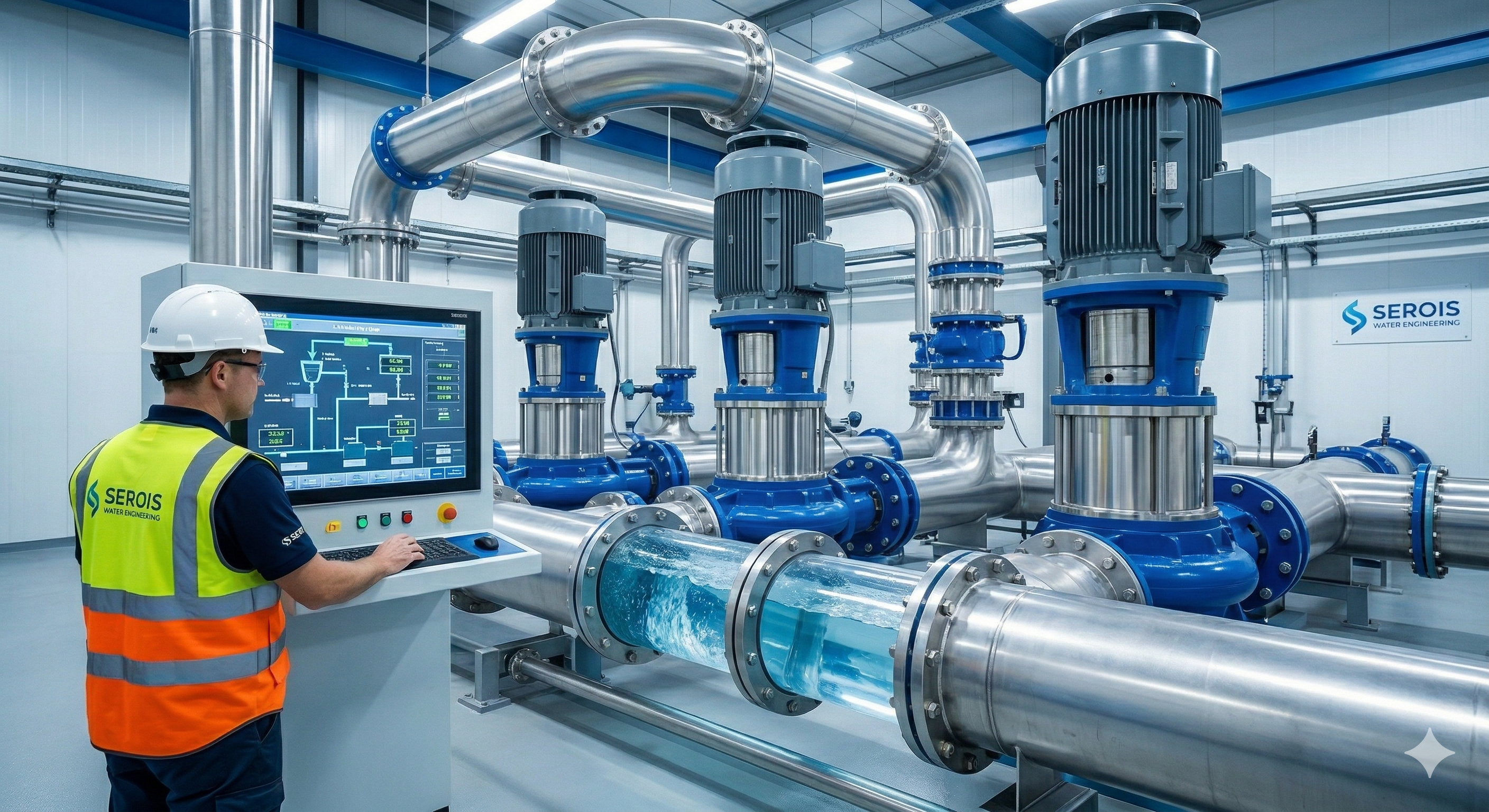
Urban Hydraulics
Urban hydraulics covers the design and modeling of all water systems in the urban environment: drinking water distribution networks, sanitary and storm sewer systems, pumping stations, and sustainable drainage solutions. Well-designed infrastructure is key to a city's water resilience.
- Drinking water distribution network design.
- Drinking water distribution network modeling.
- Design and optimization of pumping stations for drinking water, wastewater, and stormwater.
- Hydraulic transient evaluation and water hammer design.
- Design and modeling of sanitary and storm sewer networks.
- Sizing of channels, dams, and water control structures.
- Sustainable Urban Drainage Solutions (SUDS) design.
- Rainwater capture and storage system design.
- Internal hydrosanitary network design for buildings.
Frequently Asked Questions
- What are SUDS (Sustainable Urban Drainage Systems)?
- SUDS are stormwater management techniques that mimic natural hydrological processes. They include green roofs, rain gardens, permeable pavements, and filter strips. SUDS reduce peak runoff flow, improve water quality, and provide environmental and landscape benefits in urban areas.
- What is water hammer and how is it controlled?
- Water hammer is the sudden pressure surge in a pipeline when flow is abruptly interrupted — for example, when a valve is closed rapidly or a pump trips during a power outage. It can cause severe damage to pipes and equipment. It is controlled through hydraulic transient analysis during design and by installing pressure relief valves, air chambers, or pump flywheels.
Fluvial Hydraulics
Fluvial hydraulics studies the behavior of water in rivers and natural channels. Through advanced numerical modeling we determine flood-prone zones, assess riverbank stability, and design protection works. Our studies provide the technical basis required for land-use planning, risk management, and fluvial infrastructure projects.
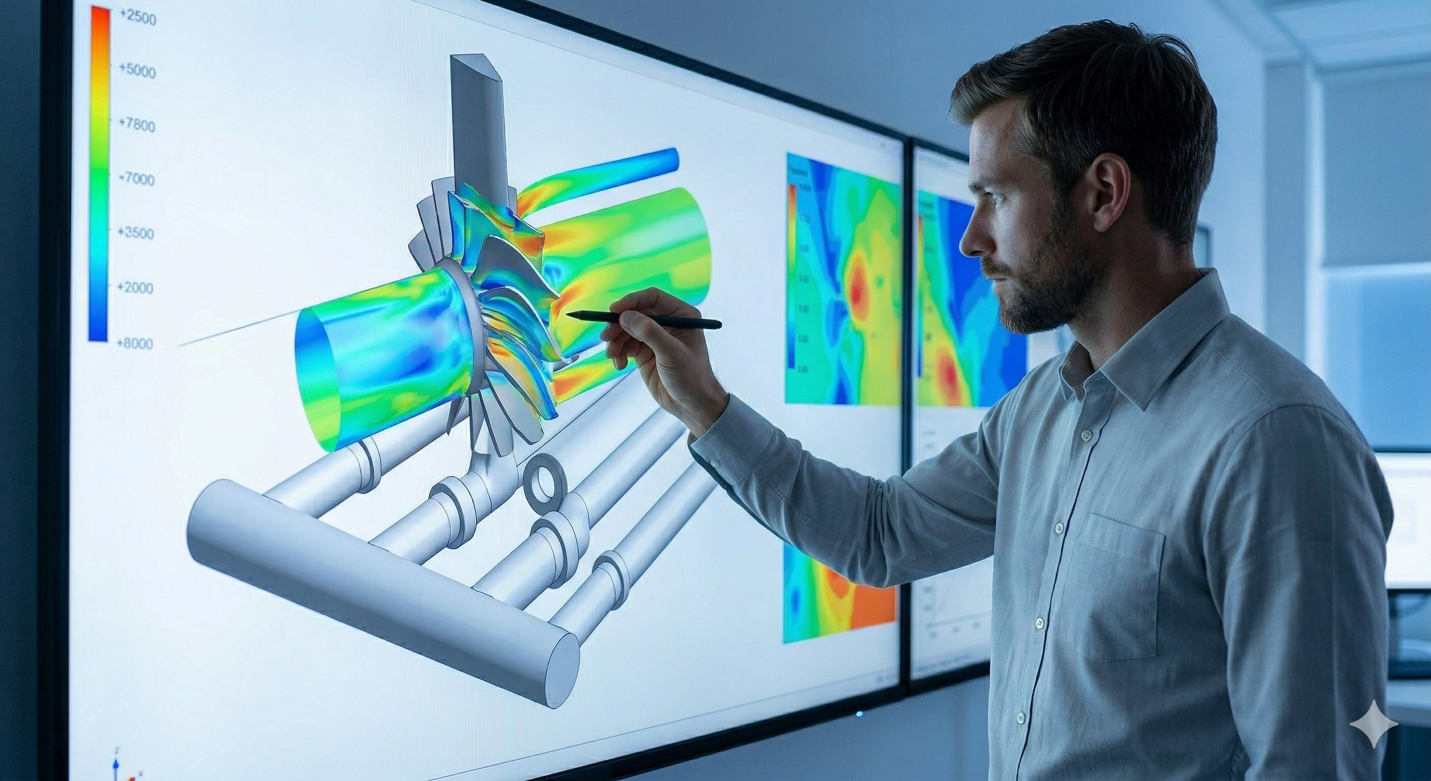
- 1D and 2D hydraulic modeling for flood analysis.
- Flood zone mapping and risk zonation.
- Mitigation and protection proposals such as levees and drainage systems.
- Sediment transport modeling.
- Riverbank and channel stability assessment.
- Studies of interaction between river flows and structures (bridges, levees, and spillways).
Frequently Asked Questions
- What is flood zone mapping?
- Flood zone mapping delineates areas with a probability of being affected by river flooding for different return periods (10, 50, 100, and 500 years). It is performed using 1D/2D hydraulic models such as HEC-RAS or IBER, and is the foundation for land-use planning, risk management, and compliance with national flood zone cartography requirements.
- What is the difference between 1D and 2D hydraulic modeling?
- 1D modeling simulates flow along the longitudinal axis of the channel and is suitable for rivers with well-defined cross-sections. 2D modeling distributes the flow across the entire floodplain and is necessary when geometry is complex, floodplains are wide, or detailed flood depth and velocity maps are needed for risk zonation or protection design.
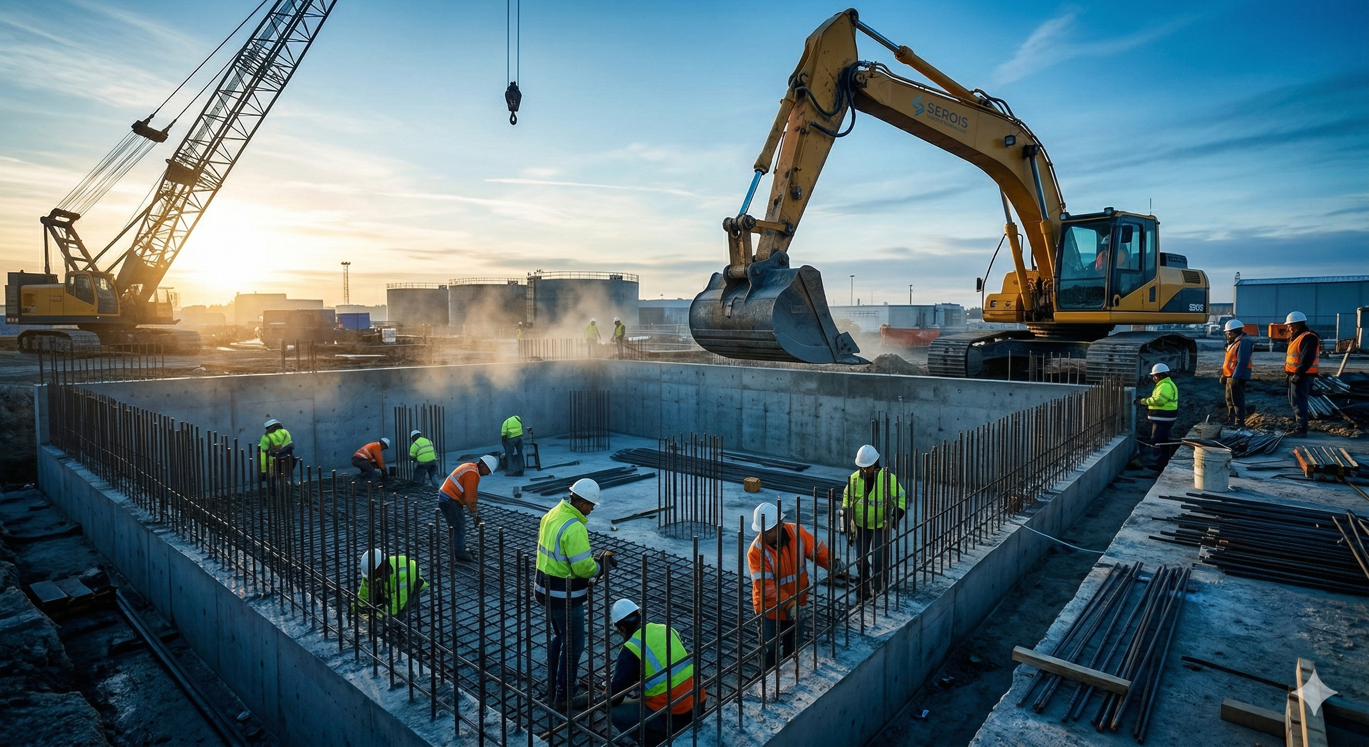
Water Treatment Processes
Water treatment is the process of removing contaminants from water to make it safe for human consumption or for safe return to the environment. We design drinking water treatment plants (DWTP) and wastewater treatment plants (WWTP) applying the unit processes best suited to the water characteristics and the quality standards required by environmental regulations.
- Wastewater Treatment Plant (WWTP) design.
- Drinking Water Treatment Plant (DWTP) design.
- Sludge and byproduct management from treatment plants.
- Sludge treatment design (digestion, dewatering, and final disposal).
- Technical feasibility studies for treated wastewater reuse projects.
Frequently Asked Questions
- What is a WWTP and when is it required?
- A Wastewater Treatment Plant (WWTP) is a facility that removes contaminants from used water — domestic, industrial, or mixed — before returning it to the environment. It is mandatory when discharges exceed the permissible limits set by environmental regulations and when a discharge permit from the environmental authority must be obtained or renewed.
- What are the stages of wastewater treatment?
- Wastewater treatment includes: (1) pretreatment — screening and grit removal to eliminate coarse solids; (2) primary treatment — sedimentation to reduce suspended solids and BOD; (3) secondary treatment — biological processes such as activated sludge or trickling filters to remove dissolved organic matter; and (4) tertiary treatment — disinfection, nutrient removal, or advanced treatment to meet reuse objectives or discharge into sensitive water bodies.
Discharge Studies and Water Quality
Discharge studies assess the impact of wastewater discharges on receiving water bodies through mathematical water quality modeling. We determine whether the receiving body can assimilate the discharge without exceeding quality standards, and formulate the necessary control measures for regulatory compliance.
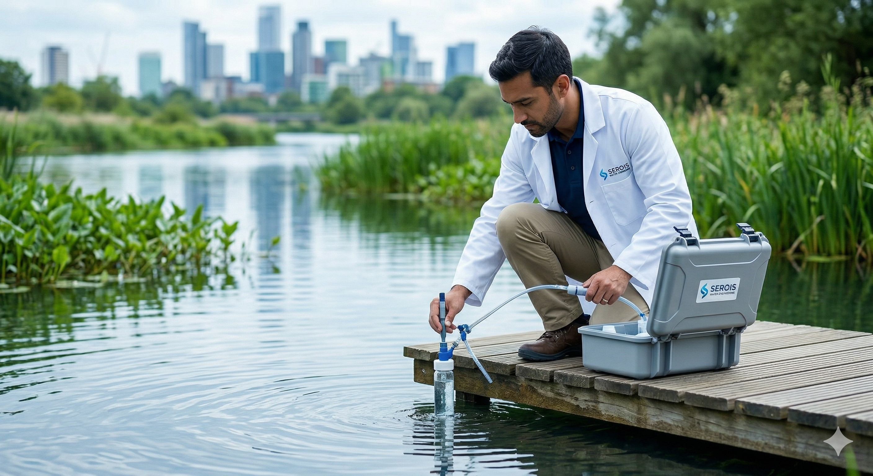
- Water quality modeling in surface water bodies (rivers, streams, and reservoirs).
- Pollutant dispersion and transport analysis in water sources.
- Receiving water body capacity studies.
- Tracer study design and execution.
Frequently Asked Questions
- What is a discharge study?
- A discharge study evaluates the impact of wastewater discharges on receiving water bodies. It includes the physicochemical characterization of the discharge, modeling of contaminant dilution and dispersion (BOD, nitrogen, phosphorus, coliforms), and verification of compliance with water quality standards. It is a prerequisite for obtaining a discharge permit from the environmental authority.
- What models are used for river water quality modeling?
- The most widely used models are QUAL2K (steady-state and dynamic water quality model for river reaches), WASP (for rivers and reservoirs), and CE-QUAL-W2 (for stratified reservoirs with vertical dynamics). Selection depends on the type of water body, the contaminants of interest, and the availability of field data for model calibration.
Environmental Permits and Regulatory Studies
Water-related environmental permits are the legal instruments that regulate water use and management. From water concession applications to discharge authorizations and riverbed occupation permits, we prepare all required technical documentation and support the process before the competent environmental authority.

- Environmental impact studies.
- Discharge environmental assessment (EAV).
- Riverbed occupation permits.
- Water concessions.
- Environmental management plans for projects and construction.
Frequently Asked Questions
- What is a Discharge Environmental Assessment (EAV)?
- The EAV is the technical study required to apply for a discharge permit from the environmental authority. It includes the physicochemical characterization of the discharge, analysis of the receiving water body's assimilative capacity, and a proposal for management, control, and monitoring measures. Without an approved EAV, it is not possible to obtain or renew a discharge authorization.
- What is a water concession and what documents are needed?
- A water concession is the right granted by the environmental authority to use water from a hydrological source — river, lake, or aquifer — for a specific purpose: human consumption, irrigation, or industrial use. Required documents typically include a hydrological study demonstrating the availability of the resource without affecting other uses or the minimum ecological flow.
Need any of our services?
We are more than an engineering company — we are your strategic partners for intelligent water management.
Contact Us